Call us (912) 674-0619
 goldenislesfae@gmail.com


Of all the questions that come into us on this coast, it's the one for which the "seems fine" and "is fine" gap is the greatest, and risk of guessing is highest.
Marsh front and low lying in the Golden Isles, it's beautiful and highly regulated. If you have a home and what looks like scrub land at the rear of your property and you decide to clean it up, you might get slapped with a stop work and have to restore it. And that's not because they were trying to be nasty, it's just because you didn't check.
This isn't legal advice. We're not regulatory. We're just stating what is there and who to ask.
Three separate layers, any of which may apply
Georgia's coastal marshlands protection. The State has laws protecting and governing activity in and around tidal marsh, which is managed by the Department of Natural Resources Coastal Resources Division. The State also has buffer requirements from the jurisdictional marsh line.
Federal wetlands regulation. For wetlands in general, the federal government regulates them through the U.S. Army Corps of Engineers. That is more comprehensive than tidal marsh and includes inland freshwater wetlands as well.
Local requirements. Glynn County and the municipalities also have their own requirements for land disturbance permit, erosion and sedimentation control, buffers and tree protections. There is a separate authority and process on Jekyll Island.
They are all separate. One does not negate the others. It's always the most restrictive requirement that applies.
A wetland does not have to look wet
This is the root of the problem.
Most people think of ponds, cattails, etc. However, there are 3 factors that go into jurisdictional wetlands. Vegetation, soils and hydrology. So, you can have land that has dry surface soils most of the year but qualify by soils and vegetation.
Stop and question before you cut anything if you have:
- Anything close to tidal marsh, creek or open water for a boundary.
- Ground that stays wet longer after it rains than other parts of the lot.
- Clearly a different plant community for some area: different trees, understorey, etc.
- Dig a hole. Does it have dark, grayish or mottled soil?
- Any area noted on a plat, survey or flood map
- Any area your neighbor calls "the wet corner".
Not determinations, but triggers for a determination.
The marsh buffer
When your property abuts a tidal marsh, there is a buffer measured from the jurisdictional marsh line (landward) that places restrictions on what you can do.
There are two things about this that trip people up.
First, the jurisdictional line is not the edge of the visible marsh grass. The jurisdictional line is something specific, with a set of criteria, and it's often more landward than the marsh grass would suggest. It's not an 'eyeballing it from my yard' thing.
Second, it's measured from the jurisdictional line. Not from your property line. Not where your lawn ends today. You have to have somebody determine the line in order to know where the buffer is.
What the actual current buffer width is, and what's ok and not ok to do in the buffer, is what you check with the Coastal Resources Division for your particular property. We don't post a number here intentionally, that's exactly the type of thing that should come from the agency and not a contractor's blog (the number and its exceptions and whatnot).
How to actually find out
Start with the desk check. Get a plat. Get a survey. Check the federal wetlands mapping. Check the flood maps. They're a screening tool. Not a definitive tool. But they're often wrong for an individual parcel. In both directions. It's a tell-tale.
Ask the county. Get with Glynn County Community Development. (or your city). Ask what the local permit and buffer requirements are for your address. Whether you need a permit for land disturbance.
Ask the state. If you're doing anything in or near tidal marsh. Talk to DNR Coastal Resources Division. They're the experts on the marsh line and the buffer.
Get a delineation. If you turn up anything interesting in the desk-check, the right thing to do is get a wetland delineation done by a competent environmental consultant. They come on-site. They evaluate vegetation, soils, hydrology. They flag the boundary. In the case of a marsh line it's set up by a surveyor.
It's expensive. But it's a heck of a lot cheaper than restoring a wetland you weren't supposed to impact in the first place. And it's a one time expense. It'll serve you for future work on the parcel.
What happens if you clear first and ask later
They're serious about enforcement. The neighbors will tell on you about clearing near marsh.
Realistically you're looking at stopping work part way through and some civil penalties, and they want you to restore the land. That's replant and regrade and monitor. All over a few years. On your dime. And restoring a cleared wetland is often a huge multiplier over the cost of the clearing.
And there's the silent cost of the unpermitted disturbance that's now associated with the property. That pops up when you sell or it's discovered through a title search or when you go to apply for a permit later for something else.
Want to avoid it all? It's really simple. Check then clear.
What you often still can do
I am not saying you should give up. Just because you may have a wetland or a buffer on your property does not mean you are stuck.
Usually if you have upland on the same property then that's usually business as usual. You may be able to do limited things in buffers if you have the proper authorization. There are permits for impacting wetlands (usually with some sort of mitigation required). Keeping your existing lawn is typically different than clearing a new area.
And many lots you will find you do not have any jurisdictional area. The check just means you are in the clear. You need to know for sure. Don't just hope.
The idea is to know what situation you are in before you get a machine on site. Not after.
Practical sequence for a coastal lot
- Desk check: plat, survey, wetland and flood mapping
- Call county for local permitting, buffers, land disturbance, etc
- If anywhere near marsh or water, call state. Get marsh delineation or wetland boundary delineation done.
- Survey marsh line or wetland boundary and flag in the field.
- Get any permits needed. Any erosion & sediment control plan needed.
- Upland clear (respecting flagged boundary & control measures in place)
- Grade. Build.
Steps 1-5 are weeks, not days. Plan for it instead of finding out.
How we work on coastal lots
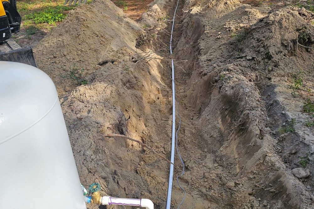
We clear land in Glynn county, McIntosh county and Camden county. We do a lot of work on low lying land and marsh adjacent lots. Here's our deal: If there's a question about the wetlands or marsh buffer, let's get that answered. We want to know before we begin. We want it flagged on site for the operator to see where the boundary is.
Sometimes that means telling a customer that they need to talk to a consultant before they need us. We'd rather do that than be the piece of equipment in the picture.
Once the land is cleared and boundaries are established, grading sculpts and drains the land, hauling removes the debris, and field fencing provides the boundary. See land clearing cost per acre for costs related to clearing. See our land clearing page for more.
Ask us for a free site visit or call (912) 674-0619. If you have a lot that is marsh adjacent, let us know on that first phone call.